Day Three. I’m up early again after a restful night of sleep. It’s quiet outside; the motel parking lot is empty except for Blooty and a pickup truck, and the pitter-patter has finally stopped. I make myself a cup of tea, heat up my breakfast croissant sandwich, and get my things packed up and ready for the road. After sending Jane a text about where I’m headed, I set off on the highway shortly before dawn. In the dark of Monday morning, Pacific City feels completely deserted. I rejoin the highway and drive, southbound again, half an hour through the coastal foothills to Cascade Head and the mouth of the Salmon River, where Oregon’s Central Coast officially begins. Here, I’ll be leaving the car at Knight County Park and doing a two-mile climb through the rainforest to the top of Cascade Head. At the trailhead, there’s a warning about a cougar being spotted in this area recently, but the entire walk up and down, I spot no other mammals except for a herd of elk and a single trail runner. Hitching my backpack, I set off on a walkway that parallels Savage Road, passing some big properties and exclusive housing communities before reaching the (closed by landslide) upper trailhead), where a series of tree root steps turns uphill into the forest. Aside from birdsong, the tinkling of a nearby creek, and the sound of wind whispering through the tall trees, the woods are quiet. I am alone with myself, my footfall, my thoughts.
I’m only three days in, but doing this trip solo has been turned out to be surprisingly rejuvenating and enjoyable. I had some apprehension before setting out, about being alone for the better part of a week, driving five hundred miles through Oregon and California, and walking through forest wilderness and atop tall sea cliffs without a companion. As I hike along and reflect back, I realize that while I haven’t formally done it in awhile, solo travel is something I’m quite comfortable with, after my experiences in the West when I was younger, and an entire summer traipsing around Jalisco during college. It’s been over a decade since I’ve been on my own (basically since moving in with Jane after college), but I’ve still retained my capacity for (and love for) being alone and getting lost in my thoughts - on sunrise trips in Maryland, and in my ranging outings on foot around Baltimore and Brookline. Traveling, hiking, and photographing on my own, I have the luxury of setting my own pace, stopping whenever and wherever I want to set up a shot (no matter how ridiculous the setup or sketchy the execution), and really immersing myself in my surroundings. To be fair, I’ve been very fortunate to meet compatible partners in travel. You can’t bring just anybody into the wilds with you - you need, ideally, someone who shares at least part of your appreciation for the world, who has learned how to respect beautiful places, who won’t muck up the mood with endless complaints, or feel the need to fill the void with unnecessary words. Still, there’s nothing quite like being on my own. In the early morning’s blue light, I make quick time up the hillside, resolving not to take out my camera until I reach the open views of Cascade Head.
Toward the top of the preserve, the forest opens up onto a grassy promontory carpeted in stonecrop and fescue. Up ahead, Cascade Head rises out of the cliffs - an ancient, extinct volcano uplifted from the ocean. The going here is wet and muddy from the prior day’s rain; I have to watch my footing to keep from slipping on the narrow path, which seems to slide a few inches downhill with every stray step. I stop near the tip of the promontory, where the dirt path swings back up the hill toward a higher viewpoint; not wanting to risk a steep and muddy descent in my worn-out, cheap Redhead boots (which I’ve been wearing since the Adirondacks, in fall 2019), I choose to stop my hike here and take in the surroundings. To the south, the estuary of the Salmon River curves around God’s Thumb, the eroded prominence on the next headland; beyond, a line of breakers falling on the beach in front of Lincoln City. Inland, to the east, mist is rising from the valleys between the foothills and peaks of the Coast Range. With my shutter speed dialed up fast, I take some ultra-telephoto exposures of the mist and distant trees with my 600mm zoom lens -a magical, moody scene quite emblematic of my time on Oregon thus far. I take a variety of compositions and panoramas before taking a water break and heading back downhill. Along the way, returning through the forest as morning light appears beyond the canopy, I take my time photographing the preserve’s marvelous stands of old-growth spruces and hemlocks, Douglas firs and red alders. Everywhere, the trees are draped in moss, hanging strands of lichen, and broad, low fans of shield fern that grow on living branches and nurse logs alike. The forest is so wonderfully old and serene, like no other place I have ever walked before.
Back at the car after a breezy walk (four miles total), I drive a short distance south toward Lincoln City. In the hills overlooking the town, I leave the car at a dead-end trailhead and set out for a loop hike circling the Knoll Open Space, an area of old woodland and pine farm encircling the Knoll, a open meadow that rises above the seaside town. The first mile of the hike is on pavement, walking through the suburbs of Lincoln City and up to the Knoll itself, where I find lofty views of the Pacific Ocean to the west, Devils Lake to the south, and the Coast Range to the east. From this viewpoint, I debate returning back to the car (the devil I know, but oh-so-boring trekking through suburbia) or completing the entire loop, and decide, unfortunately, to do the latter because I have plenty of time. On the backside of the loop, the trail initially passes through lovely groves of spruce trees, but it soon descends steeply into a long, undulating section of forestry road. While not difficult or technical at all, the road is, frankly, so muddy that it is unpleasant - not just “there’s some water on the trail and your boots might get a little wet” but “it’s all mud, all the way down, and you’re going downhill with no traction.” I take my time and make it back to the car shortly after noon, quite happy to have not had any slips and to be back on solid ground.
Headed south again, I re-enter civilization and grab a cheeseburger, fries, and root beer at Hwy 101 Burger in Lincoln City (an awesome little seaside joint with a pinball arcade in back and punk decor on the walls) before driving south toward my next destination of Yaquina Head. I pass by the beachfront boardwalks at Depoe Bay and Beverly Beach, stopping roadside to photograph Yaquina Head in the distance just before I enter Newport. Out on the headland, I park Blooty near the lighthouse and set off first up the Salal Hill trail, a short gravel path that switchbacks up the coastal sandstone hill overlooking the lighthouse. From the top, there are lovely views back toward the shoreline to the north and south; I photograph the winding road back along the headland, and Blooty looking even smaller than in real life, down below in the parking lot. After returning back down the hill, I check out the tide pools below the lighthouse (the tide is high and crashing on the rocks, so I stay far away from the beach) and circumambulate the lighthouse before continuing my drive south. After a stop for gas in Newport, it’s onward to Yachats and Cape Perpetua, where I’ll be spending the rest of the afternoon.
Past the settlement of Yachats, where I’ll be staying for the night, the highway hugs the cliffside as the land becomes more dramatic, rising sharply out of the ocean in a deep series of coastal peaks. Here, the landscape is a study of contrasts: wave-dashed inlets and tidepools on the shore, and less than a mile inland, mist-strewn valleys where massive tracts of coastal rainforest dwell, not unlike along the rocky shoreline of Big Sur in California. My main stop here is the Cape Perpetua Scenic Area, where I drop into the visitor center and purchase my trip magnet before setting off on a short hike to an old, giant Sitka spruce tree, reputed to be over five hundred years old. The trail to the massive tree parallels the park’s campground (deserted for the season), which I can see through the trees just on the other side of the gentle creek that runs down the length of the valley. A mile in, after a detour through the far end of the campground, I come to the Giant Spruce, a startling specimen of a tree, not the least for the massive hollow at the base of its trunk (created after the nurse log that the spruce grew from eventually decayed). I walk around the trunk and look up toward its soaring crown; unable to help myself, I break out the tripod and take some panoramic selfies with giant tree; given the confines of the forest, stitching multiple exposures together is the only way I can really capture the size of the majestic spruce. To mix things up on the return, I choose to walk along the road through the campground; the peaceful atmosphere of the empty campsites, with the adjoining stream and the tall forest on either side, is quite magical itself.
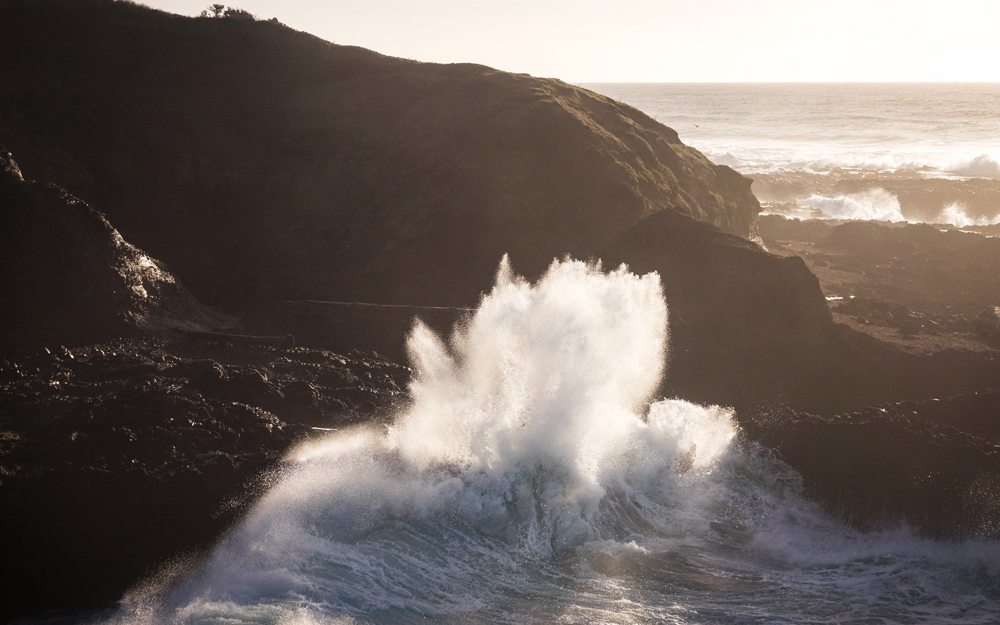
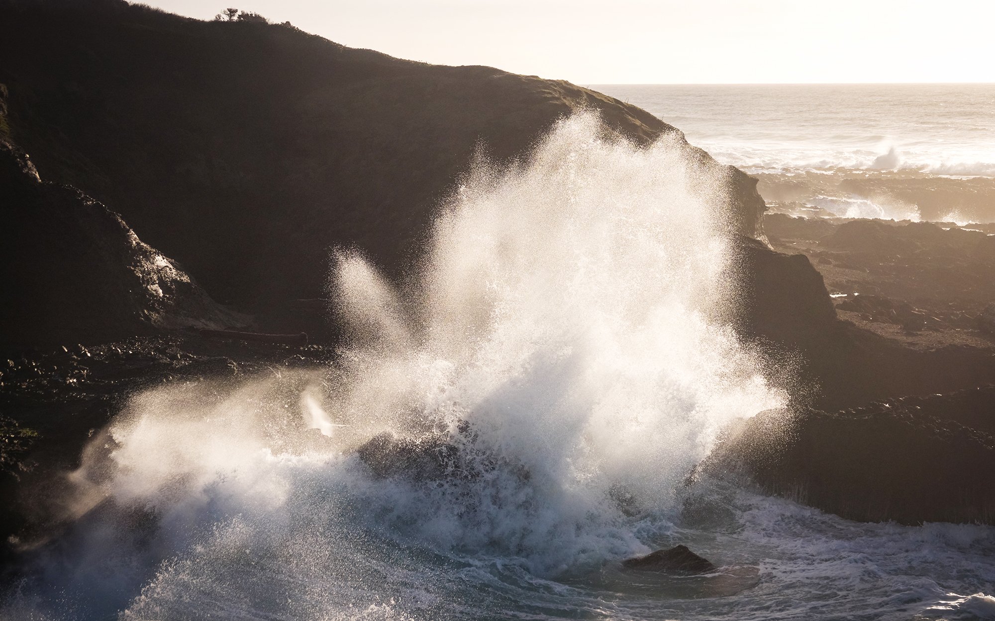
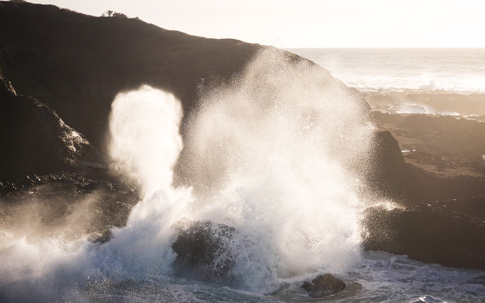
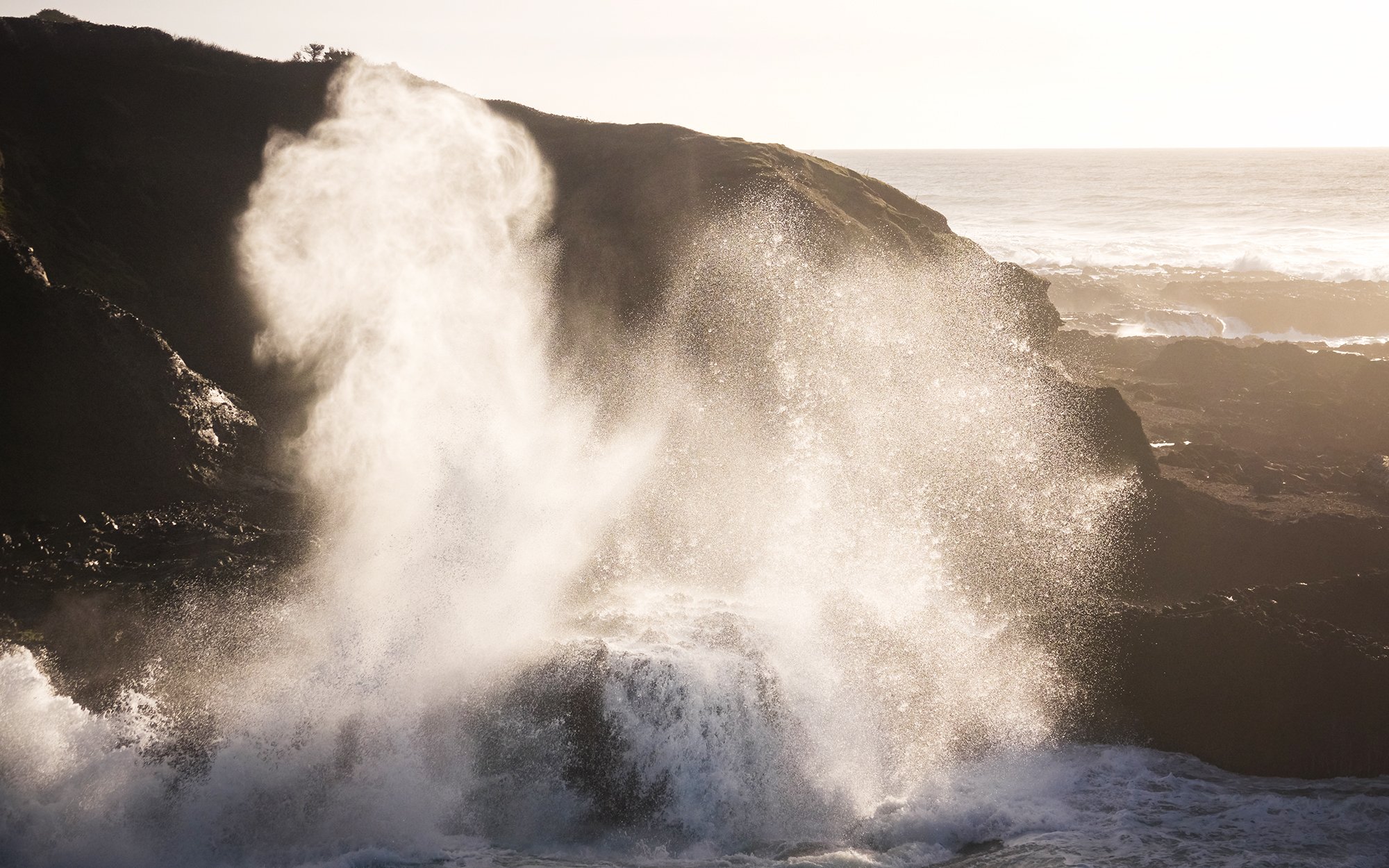
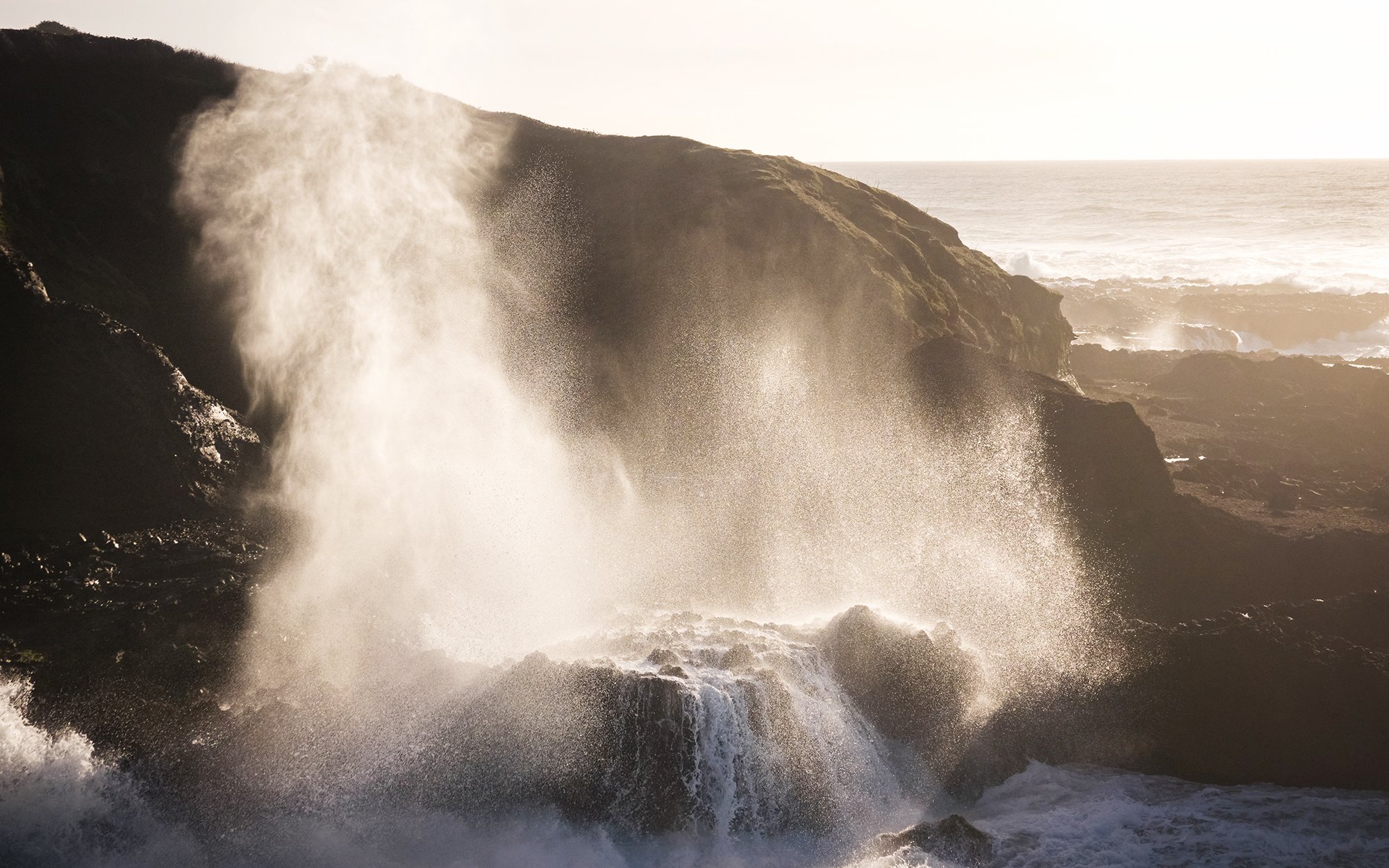
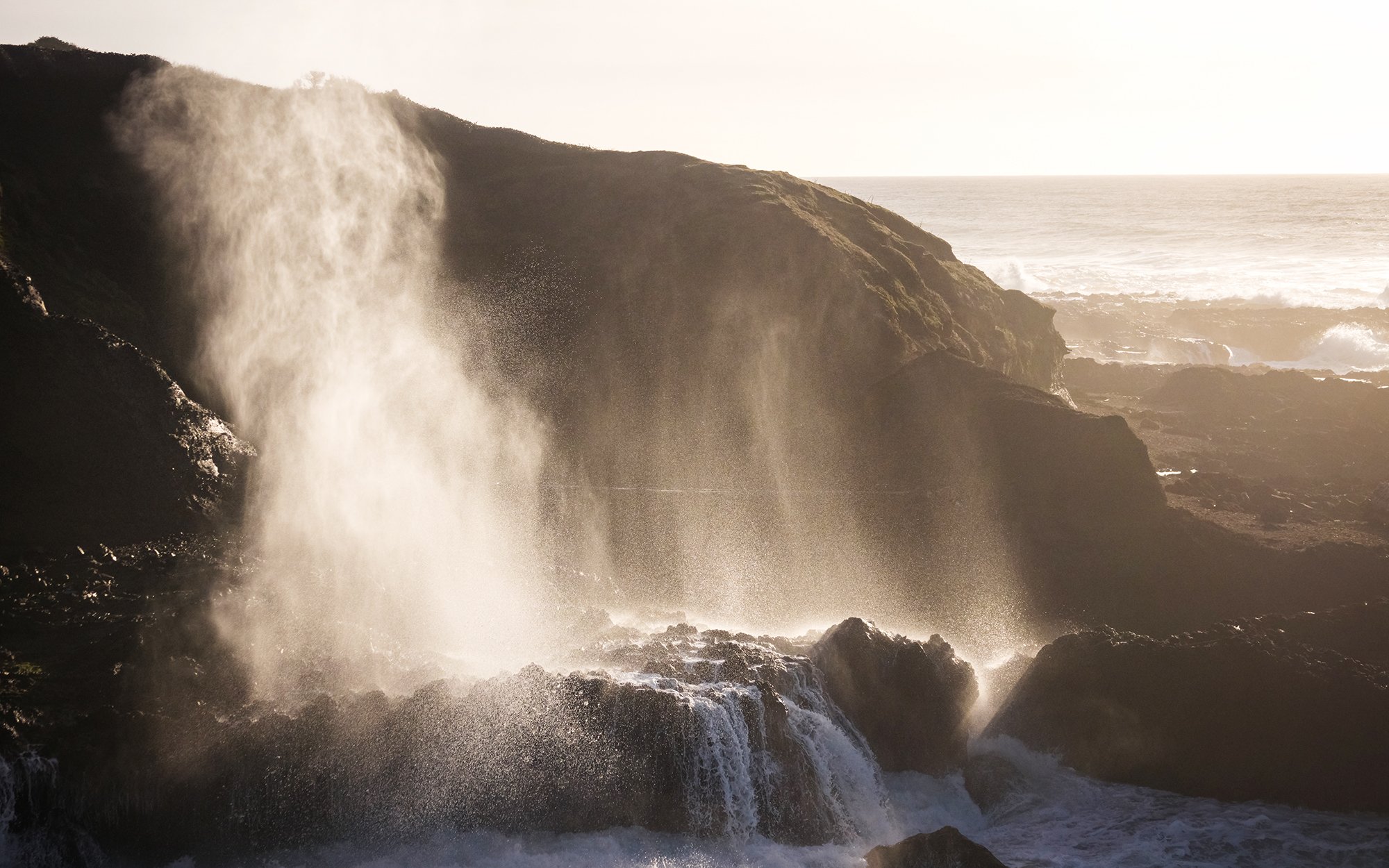
It’s late afternoon when I return to the car. I head a short distance down the road to watch the waves at Cave Cove. The swell coming off the ocean is massive, sending towering walls of water crashing down Cook Inlet and erupting from Spouting Horn and Thor’s Well. I dialed in a fast shutter speed and take some action photos of the breaking waves in the light of the setting sun. Finally, for sunset, I drive back up the road to Cape Perpetua Lookout, a high viewpoint atop the headland itself. Here, a short trail leads through the whispering spruce trees, where it opens up to an impressive vista of the Pacific Ocean and the winding coastline below. I spend the golden hour here, sitting silently in the old stone shelter at the tip of the headland (where, surprisingly, I have cell coverage, and exchange a few words with Jane to close to day). As I take in the beautiful views of the Central Coast and the inland mountains, the sun fades into yet another bank of offshore clouds. Dark approaches, and I make my way back down the mountain and back a few miles to Yachats, where I check into a single room at the Dublin House Motel that is the very definition of cromulent. After dinner and a shower, it’s off to bed.
