It might go without saying, by now, that I have a love for exploring and photographing islands. From the windswept moors of the Hebrides and the primordial plains of Iceland, to the golden dawns of Mt. Desert’s coastlines and Smith Island’s wetlands, it is impossible to be standing upon an island and not be profoundly aware of the world around you. To feel the wind and the spray blowing against your skin, to sense the earth itself eroding beneath your feet, and to be utterly dwarfed by the surrounding sea and its swirl of clouds and climates. It is these fringe and lonely places, where man and nature cling to each other in a special kind of survival, that have left the deepest impression on me, and on what I find appealing about landscape photography.
The Faroes (Føroyar: “Sheep Islands”) are just such a place. An archipelago located in the North Atlantic, midway between Iceland and the Outer Hebrides, the Faroe Islands have been continuously inhabited for nearly two milennia - first by hermit monks from Ireland and Scotland, who came to these islands with their sheep to eke out a meager existence and to supplicate their God from the wind-blasted edge of the known world; then by Norse pirates and warbands, for whom the islands were a fog-laden pit stop amidst their endless ranging and raiding across Scandinavia and the North Sea. The descendants of these Norsemen stayed behind to tend the moss-covered hillsides and grow their flocks. They built little villages in fertile valleys and sheltered dales, and at the heads of the fjords that carve the islands like glacial tendrils. They established systems of municipal and national government, law and justice, and seafaring commerce that would at various times belong to - but never be beholden to - the crowns of Norway, Great Britain (during the Second World War), and Denmark. Thus, in one form or another, have the few thousand inhabitants of these eighteen islands existed since ancient times.
Modernity has come to the Faroes as well. Two-lane roads now lead to villages that were once isolated by a perilous trek across icy mountain passes. Undersea tunnels link the main body of islands, such that one can now drive from the capital of Tórshavn to the farthest reaches of the archipelago within two hours - a journey that would have taken days and several bus and boat connections just a few decades ago. And perhaps in common with much of Scandinavia, the islands boast one of the most well-educated, progressive, and technologically connected populaces in the world.
Despite all of these changes, tradition still matters in the Faroes. This is still a country where all of the hills, all of the streams, and more than a few of boulders, have names and legends associated with them. Where the lakes are home to benign or malevolent spirits, and the snow-capped mountains are deities in their own right. Where a year’s fortunes, or the fate of an entire village, can be dashed by a cruel vagary of Atlantic weather - as attested to by memorials for dead mariners in more than one settlement we visited. At their heart, the Faroes are still a frontier nation - an island outpost standing at the intersection of the ancient and the modern, the known and unknown, the real and the imagined. It is all the more beautiful because of this.
The trip starts out about as badly as it possibly could. Jane is late to come home from a morning in lab, and isn’t answering her phone, while a major thunderstorm engulfs the Mid-Atlantic and cancels our flight to the Faroes via Copenhagen. I manage to re-schedule us for a two-stop flight to Copenhagen via Munich. Jane makes it home in time for us to depart, and the Baltimore-DC traffic, despite the downpour, isn’t half bad. For a moment, it seems that everything will be alright. The mood lightens. I have a bewildered Jane check us in for a surprise flight to Germany as we round the Beltway, all things considered, in record time. Of course, it wasn’t meant to be. After burgers and a few hours playing phone games in a cramped and crowded Dulles Airport, we find ourselves aboard a severely delayed overnight flight to Munich. I try, and fail, to get some sleep while wondering how we’ll possibly find another way to get from the south of Germany to a tiny Atlantic island chain in the middle of nowhere.
We rush through Munich Airport in the morning, but as expected, miss our connecting flight. With breathless lungs and bloodshot eyes, we stop at a deserted counter to ask for help from a Lufthansa desk clerk who - to put aside jokes about ruthless German efficiency and give credit where it’s due - calls each of the three different airlines on our (already once re-booked) itinerary to figure out a new plan for us. After a few anxious minutes of conversing in German, English, and (presumably?) Danish, the verdict: we can still make it to the Faroes that day (in the evening instead of at noon) by connecting two more times - to Düsseldorf and from there to Copenhagen via an afternoon flight.
Most of the next ten hours are a blur. Jane and I, already hung over from our overnight pond-hopper, manage to scramble onto a domestic flight heading west to Dusseldorf. Then, after a two-hour nap in a deserted corner of the Düsseldorf Municipal Airport, we’re headed east to Denmark. Then, finally, west again. Somewhere in the delirious haze of four flights and twenty-four consecutive hours of travel, I recall an especially tasty Belgian waffle, a bottle of lemon tea, and a very clean, wood-paneled airport in Copenhagen. Sitting in front of the gate of Atlantic Airways flight 459 to Vágar, surrounded by the swirl of the not-quite-Danish, not-quite-Icelandic language of the Faroese commuters, we snap a selfie for family. We’re still alive, we say. And still on our way.
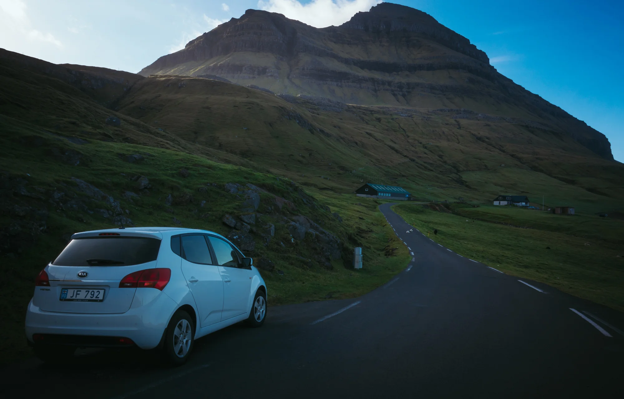
The sun is beginning its slow arc into the Atlantic Ocean when we pass into the marine fog that so often creeps along the Faroes’ valleys and shrouds its coastlines. Shadowy mountain peaks suddenly materialize from the mist as we make the steep descent onto the country’s only runway on Vágar, the westernmost of the main island group, where we will be based for the first half of our trip. Leaving the tiny, two-gate airport, we pick up our little hatchback Kia Rio (Tiny); it is just past 8 PM. There was originally a thought to catch a late northern sunset (10:30 PM) somewhere along the island’s beautiful western coast, but both of us are utterly exhausted from the long journey and, we reason, the fog bank shows no signs of dissipating. We head off on the highway, which follows the shore of the lake Leitisvatn (also: Sørvágsvatn or “South Vágar Lake”) as it curves toward the village of Miðvágur (“Middle Bay”). We stop by the local co-op (Føroya Keypssamtøka) for sandwich ingredients and microwaveable dinners before proceeding to the home of Annika, our hostess for the next few nights. After we meet Annika, her dog Kira, and Kira’s litter of newborn puppies, we settle down in our guest room on the second floor, with its curtained windows that gaze out toward the sea.
We awaken for sunrise the next morning at 4 AM. The sky of this far northern place, never having dimmed beyond what I am used to calling the “blue hour”, is exactly where we left it the previous night- a piece of light gray that evokes the winter afternoons of Maryland or New England. We climb into the car and proceed east through the town of Sandavágur (“Sandy Bay”), where a short dirt track above the town leads us to the viewpoint for Trøllkonufingur (“Witch’s Finger”), a behemoth, free-standing spire that rises 300 meters out of the ocean, silhouetted against the rocky cliffs of eastern Vágar and the distant shoreline of Streymoy. Sunrise is a wash on account of the cloud cover (though, as we soon discover, sunrise and sunset are also hours-long affairs here), but even in the dim light, the crashing waves and towering sea cliffs make for a stunning scene. On our way back to the car, I stop for some long-exposure photos of a little waterfall rolling down the hillside. In the distance, Sandavágur looks like the typical Faroese village - a neat group of bright, modern houses, huddled together soundly between the sea and the foot of the nearby mountains. In the bay, the early-morning trawlers are at work, gathering their harvest from the circular fishing cages that dot the islands’ waters.
Back in the car, we drive back west for two minutes before turning onto a gravel road behind the church in Miðvágur. Passing into the outfield of the village, we park at a dirt turnoff and head off on the 2-mile trail that winds above Leitisvatn as it curves toward the sea. It is lambing season, and the lake shore here is dotted with the ewes and their offspring. We stop and watch as the little ones frolic across the grass and, often too curious for their own good, approach us furtively only to be recalled by the warning bleats of their mothers. The hillsides ring out with the call-and-response of the family pairs - the hesitant meeeeh-eh-eh’s of the newborn lambs, echoed by the brass-and-bassoon MAAA-AH-AH’s of the adults. Ever so often, we come across a lone ewe lying comfortably against the grassy slope, bellowing its heart out with what any compassionate listening creature can only presume is a distress cry. Inevitably, it only takes a minute for the errant corresponding lamb, having strayed too far with its friends, to come racing back, its bleats modulating like a Doppler signal.
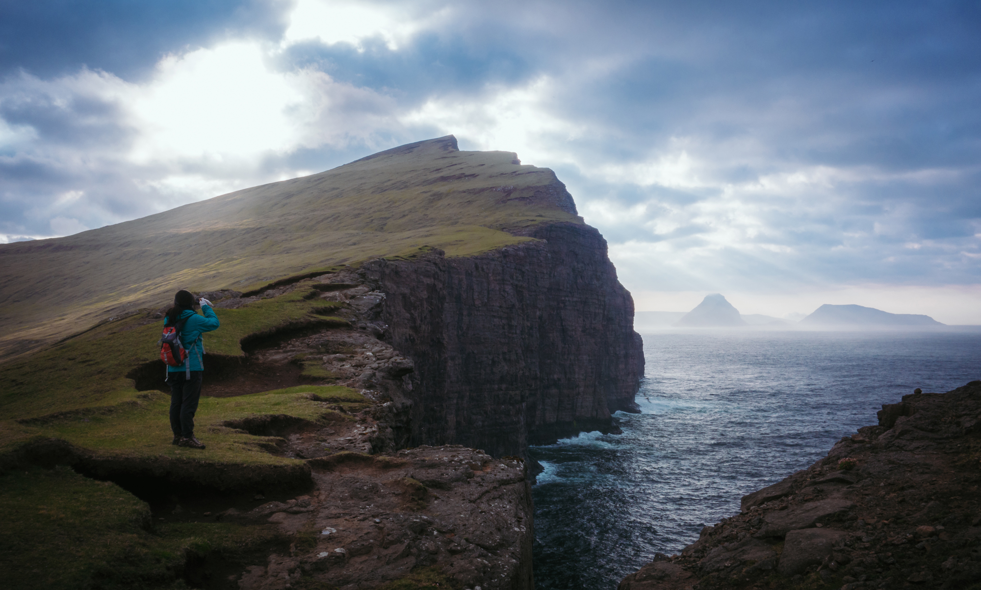
At the southern point of the island, we come to a sheer drop over several hundred feet into the Atlantic Ocean. Here the cliff face soars upward like the bow to the island’s ship, culminating in the promontory of Trelanípa (“Slave Rock”, supposedly so named because it was where the early Vikings viciously pushed their captives into the frothing sea). We ascend the hillside as the wind blasts us from all directions; to the west, a lace of fog shrouds the sea cliffs of western Vágar, while to the east, sun rays pierce through the skies to illuminate the island chain. Looking back to our north, with our perspectives utterly twisted by the sheer enormity of the cliffs, we see the Faroes’ largest lake as if it were suspended over the ocean, barely contained by its island rim. Kittiwakes and herring gulls go cruising by at waist level, only to be blown backward and skyward by the updraft along the mountainous walls. All the while, the Atlantic Ocean pounds like constant thunder, crashing against the rocks beneath our feet. It is a lovely and terrifying place to photograph.
After descending the hill and scrambling down the shore toward Bøsdalafossur (where the lake flows over basalt pillars into the north Atlantic), Jane and I climb back to our original path and retrace our steps to the car, parked on the outskirts of the village. From there, we make a brief detour to Bónus (our old friend and most trustworthy discount grocery store from Iceland), where we load up on sliced meats, fruits and veggies, drinks, and a bottle of remoulade, the omnipresent and omnipotent sandwich condiment of which we will becomes astute judges by trip’s end. Finished with sandwich-building and breakfasting in Annika’s kitchen, we make like true northern photographers and adjourn for a long mid-day nap.
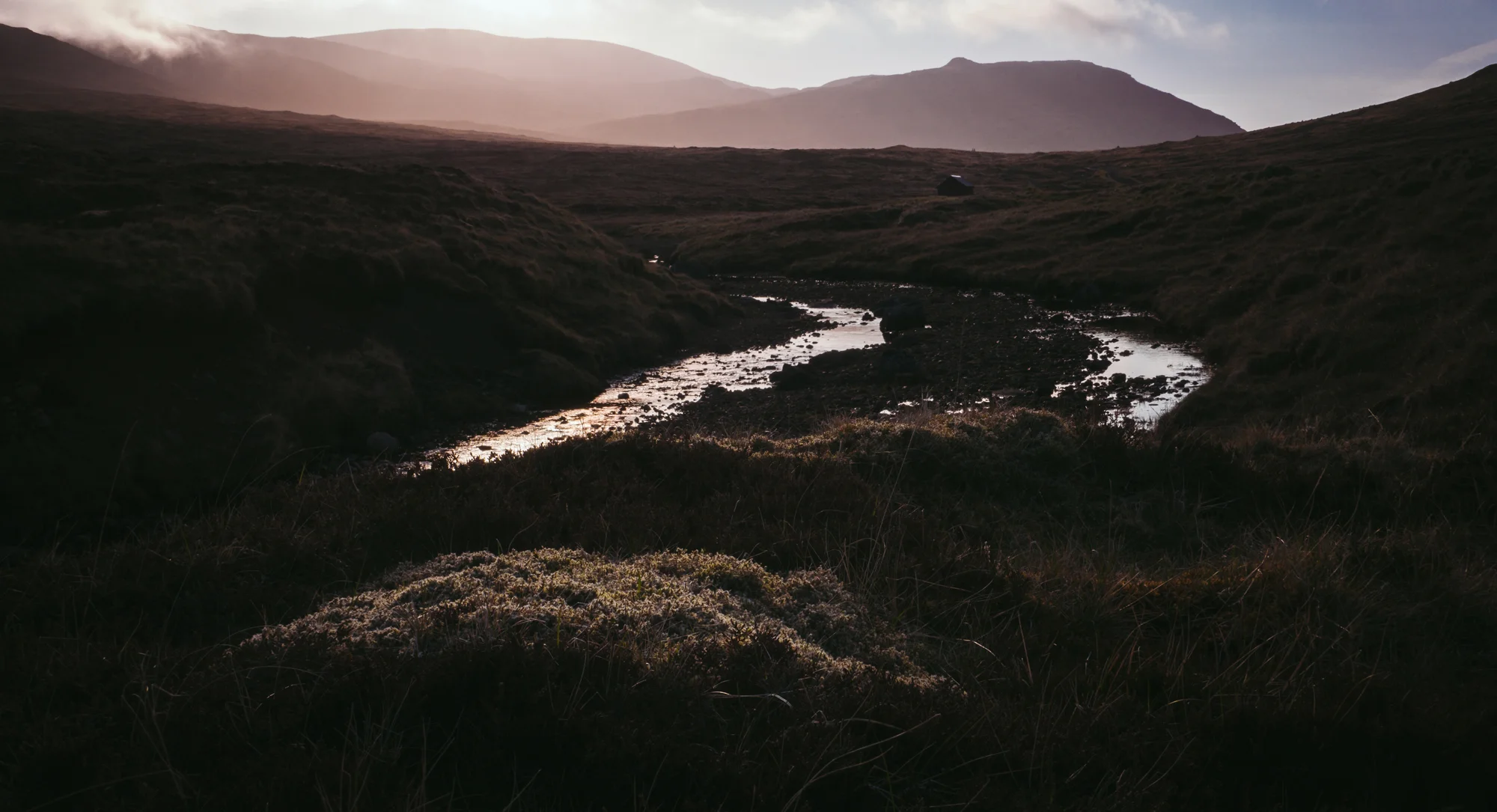
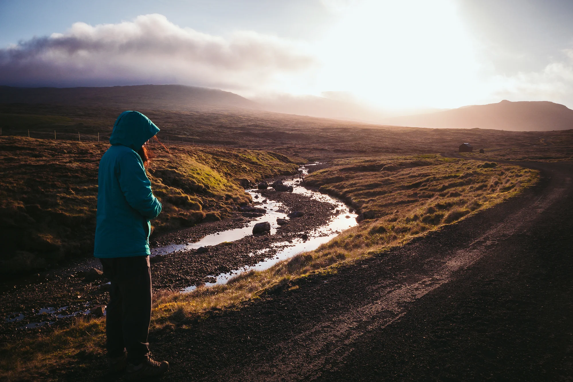
In the afternoon, we set out for a less known and less photographed locale - the Faroes’ second largest lake, Fjallavatn (“Mountain Lake”), which sits in a trough that nearly bisects the island of Vágar. The road to Fjallavatn is a turnoff from the main highway that leads us past the island’s only secondary school and one of its several soccer fields; it soon deteriorates into gravel track that follows a narrow creek along the valley floor, surrounded by miles of empty moorland. Though we are only minutes from what passes for Faroese civilization, the endless expanse of peat and the looming mist call to mind the desolate and lonely landscapes of the Scottish Highlands. When the road narrows into a dirt walking path, we leave the car at a turnoff and, with our weather gear, we set off on foot up the valley.
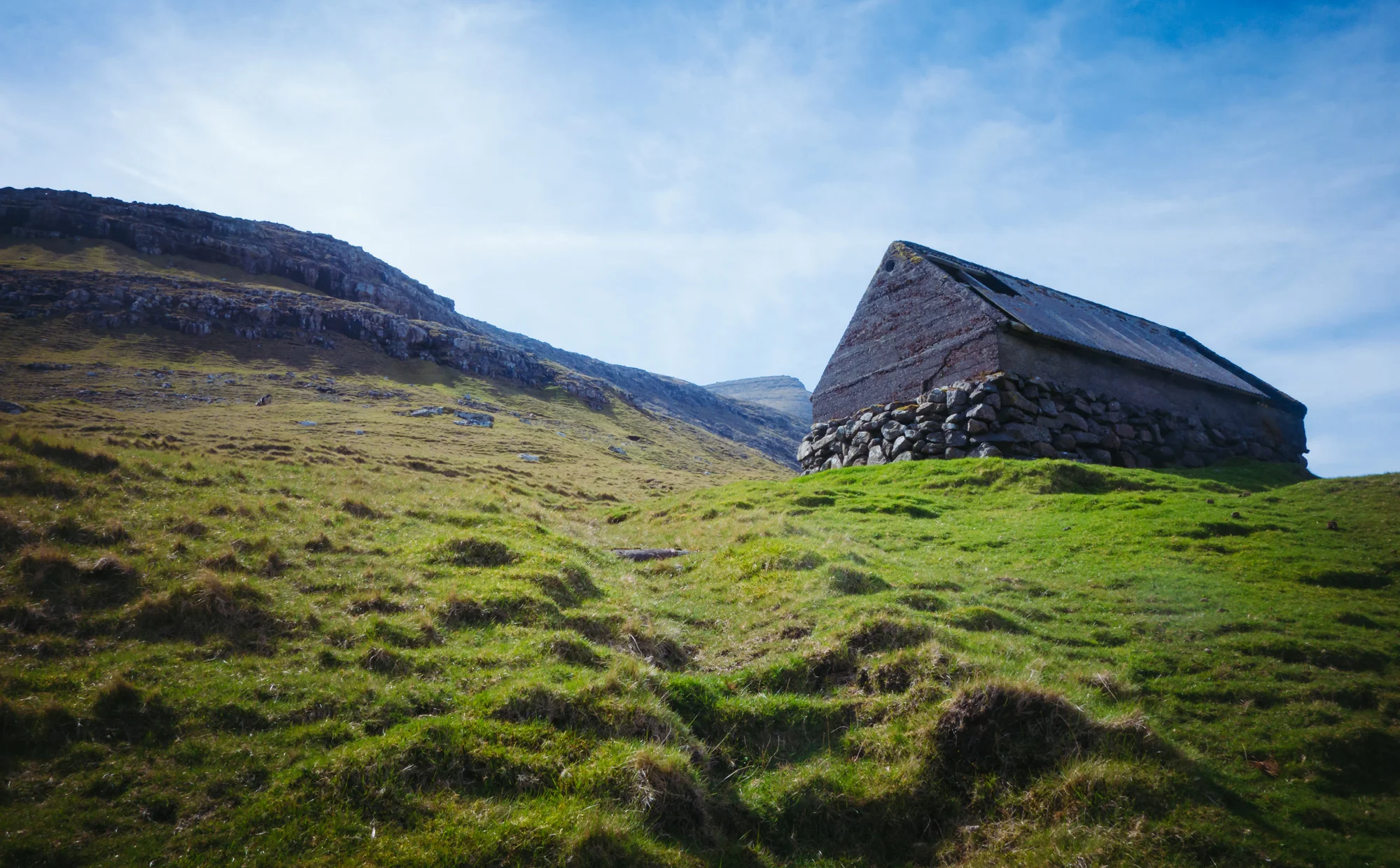
The track toward the lake follows an easy stone path that weaves across streambeds and atop boulders, demarcated every few hundred feet by a crude stone cairn. As we climb off the valley floor, the fog lifts, and we see a shimmering blue lake beneath us, stretching for a mile toward the island’s northern cliffs. Hidden away in the island’s interior, with just a lone hut clinging to its western shore, Fjallavatn and its surrounding valley have a sort of quiet, mysterious beauty that is rare for the Faroes, where even the most dramatic vistas are often within eyeshot of a highway or hamlet or fishing fleet. We descend toward the lake over open pastureland, closing a sheep gate behind us as we approach the gravelly shore. The wind is howling down from the mountains, sending ripples across the lake surface. We tramp across the boggy slopes to the fishing hut, where we take a brief break on the grass before returning home for dinner.
After dinner and another nap (and playtime with Kira and her puppies), Jane and I again leave Miðvágur around 8 PM to catch sunset. We return west along the lake, past the airport and the town of Sørvágur, the island’s largest settlement and main fishing port. In an example of the changeable Northern Atlantic weather, the morning’s overcast and the afternoon’s abundant blue skies have given way to heavier weather, as grey clouds race toward the little islets and holms just offshore. At the village of Bøur, we stop beside the road to photograph the storm developing around the arched sea stack of Drangarnir (“The Cliffs”) and its parent island, Tindholmur (“Peak Holm”). As we watch the scene unfold, a border collie comes running down to us from a turf-roofed house up the hill, happily accepting our affectations and photographic attention. As we discover over the course of our trip, Jane and I are magnets for Faroese sheep-herding dogs, who, like rural working dogs everywhere, are apparently more curious than they are obedient.
Proceeding west past Bøur, the road narrows into a single-lane tunnel that bores half a mile through heart of Eysturtindur (“Eastern Peak”) a 700-meter mountain wall that separates Vágar’s westernmost settlement from the rest of the island. The raindrops are beginning to fall in earnest as we emerge from the top of the mountain and descend along hairpin turns toward Gásadalur, a small hamlet consisting of several houses, a one-room schoolhouse, and a public toilet for tourists. Its namesake (“Dale of Gás”) is uncertain - it is thought to be either the snow geese that winter in the valley, or (as related in The Altantic Islands, a mid-century compendium of Faroese history and folklore collected by British sailor Kenneth Williamson) a woman named Gaesa who was exiled to this distant corner of the isles for breaking Lent. Hemmed in by Vágar’s tallest mountains, the tiny village (population 16) was formerly only accessible by a full day’s trek up and down Eysturtindur via the steep switchbacks of Gásadalsbrekkan (“Gásadal’s Slope”). Today, it is mere 15 minutes’ drive from the country’s airport, which brings tourists of all stripes (ourselves included) to see its iconic waterfall, Mulafossur.
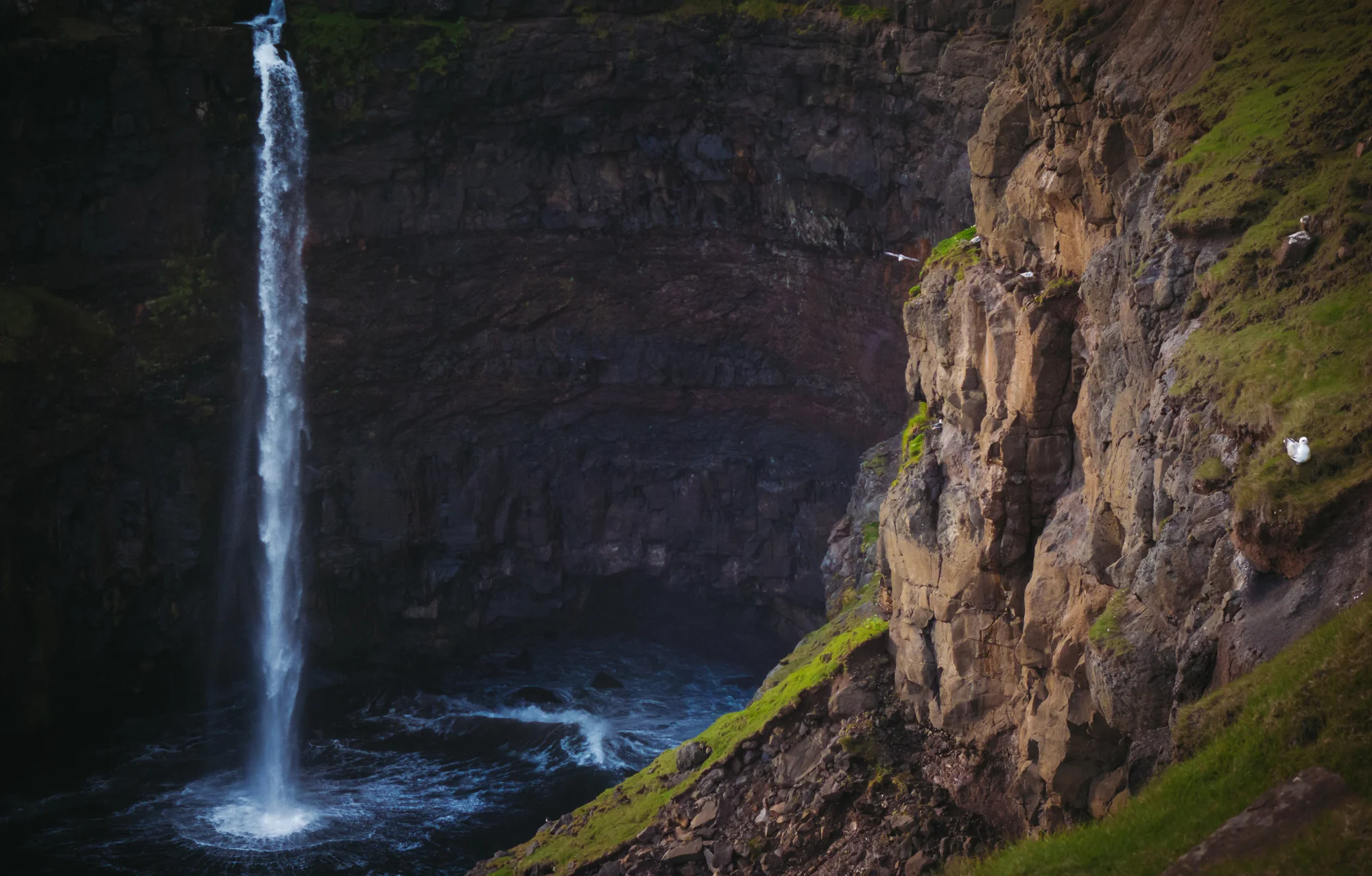
After parking in the small lot beside the village, we walk back along the road and down a short path that skirts the cliffs. Curtains of rain are coming down now, and the sea is churned into a cauldron of white frenzy. There will be no sunset today, but we and a few sheep enjoy the downpour coming in off the Atlantic, and the spectacle of Mulafossur in one of its wilder moods - blown up, down, and sideways as it attempts to fall gracefully from the hillside into the frothing sea. I take a few images before we retreat for the night - knowing that for better or worse, island weather is ever-changing.


