We sleep to a more humane hour, and wake to blue skies and sunbeams cascading through the window blinds at 8 AM. After a leisurely breakfast, we return to the port town of Sørvágur, where our plan is to catch the morning ferry to the island of Mykines, home to one of the largest colonies of Atlantic puffins in the world. Unfortunately, upon arriving at the dock, we find that the day’s travel has been cancelled due to high offshore winds and unsafe landing conditions at Mykines’ rocky jetty. In hindsight, this should have been ample foreshadowing of things to come, but, puffin-determined as ever, we re-schedule our trip for our second-to-last day in the Faroes. As we later discover, any travel to Mykines, cancelled or not, is a dicey proposition - attempt at your own risk!
After buying drinks and additional breakfast pastries at the town grocer, we wander the harbor aimlessly for some time, watching the tide come in, like a river slowly flowing from the ocean into Sørvágsfjordur. Eventually, we move the car to the end of the wharf, and set off on a 4-hour, 5-mile round-trip hike along the island’s western promontory, to the front of the sea arch Drangarnir.
(Just after our trip, in early summer 2018, I learned that this hike is no longer open to public access without a hired guide. This is also confirmed by Faroese sources including Vágar’s official tourism board website. Please respect local regulations and go with a guide! It will be more sustainable for the landscape, less disruptive to the sheep and wildlife, and safer for the walker as well, as my description below should make abundantly clear. Jane and I are no iron athletes, but we have decent hillwalking and pathfinding experience after the past few years. This coastal day hike, nevertheless, was a tough one.)
The walk begins at the end of the quarry beside the town dock, at a muddy grass path that follows a sheep fence. After about 50 feet, the fence ends, and the path continues as a multitude of parallel sheep trails along the side of the hill - sometimes rocky, sometimes muddy, and always suspended steeply over the ocean below. By virtue of having been made by sheep, the path is only just wide enough to walk in tandem; one is left with the unenviable choice of tightrope-walking for several miles, or planting one’s uphill and downhill legs at different elevations. I try the latter, and my knees pay the price for the remainder of our vacation.
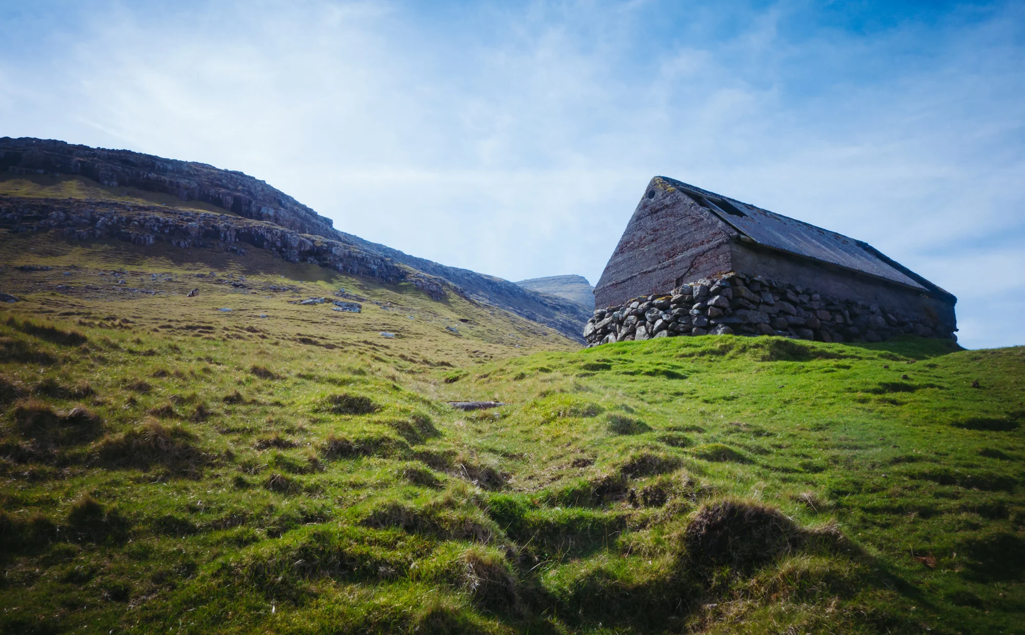
After rounding the first bend in the promontory, Sørvágur’s harbor disappears from sight, and we descend briefly to a shingle beach before resuming the grass path and crossing a small stream at the head of the cove. The next section is passable for a stroll, as the hillside is fairly tame, and uneventful except for a rock crossing over a series of small falls. We pass the ruined foundations of an old stone croft overlooking the fjord, and several shielings where shepherding families tended to their animals in the summer pasture.
About a mile from the cove, the terrain begins to rise into a precipitous headland, and the sheep paths become narrower and steeper. Our chosen path plunges headlong into a rocky cliff suspended far above the ocean - impassible for humans - so we turn perpendicular to the hill and climb several hundred feet upward to the crest of the ridge.
After a brief break on the ridgeline (with magnificent views back toward the harbor, and to a lovely waterfall on the northern side of the fjord), we reach the final bend in the headland, a tiny crest called Múlin. Our climb puts us about a hundred feet above the lighthouse on this hill (see photos from Bøur in the previous post), and the sloping figures of Drangarnir and Tindholmur make their first appearance after a long walk. However, the most treacherous part of the hike remains - navigating the steep flank of Kvívíksskoranova, along narrow sheep trails that slope ever steeper and steeper toward the sea. At several points, with our progress impeded by a rock ledge or a (literally) inhuman gradient, we’re forced to carefully step above and below our level to find a suitable trail. Certainly, this is not a place for the faint-hearted. A single slip, momentary lapse of judgment, or turn in the weather could all lead to a fatal slide off the mountain.
As we near the point of the headland, at the foot of the mountain, we unceremoniously pass through the nesting grounds of a pair of great skua - massive, golden-winged terrors that are unmistakable to anyone who has ever had the misfortune of encountering one up close. Though we are over a hundred yards away, the male mounts a spirited defense of its territory, flying directly at us at chest level while emitting a fierce cry. Pass after pass, it swoops barely above our heads, nearly colliding with us several times. We shield our eyes and speed down the ridge, coming finally face-to-face with the arch of Drangarnir.
Even among the world’s famous sea arches, Drangarnir makes for a compelling photographic subject. Its lofty doorway stands over a hundred feet tall, caked in guano and encircled by an ever-present flock of crying seabirds. Its lovely slanted shape, mirrored in the background by the five-peaked islet of Tindholmur, is a testament to differential erosion - its exposed southern face is pounded by the open Atlantic, while the gentle northern slope faces the protected channel between Sørvágsfjordur and the outlying island of Mykines. Jane and I step down to a rocky ledge in front of the sea stack and take portraits together before gathering our strength to make the grueling journey back along the headland.
By the time we return to the dock, it is nearly 3 PM, and we are dehydrated and famished. We make a quick stop at the grocer and buy ourselves drinks and jelly ice cream bars; Jane has hers sitting in the backseat of our car, while I lean against the bike rack outside the shop. We drive back to Miðvágur, where I buy a hot dog and a “Magnbox” (barbecued chicken skewers) at the Magn gas station. Back at the house, we kick our shoes off, shower, and pass into an exhausted sleep.
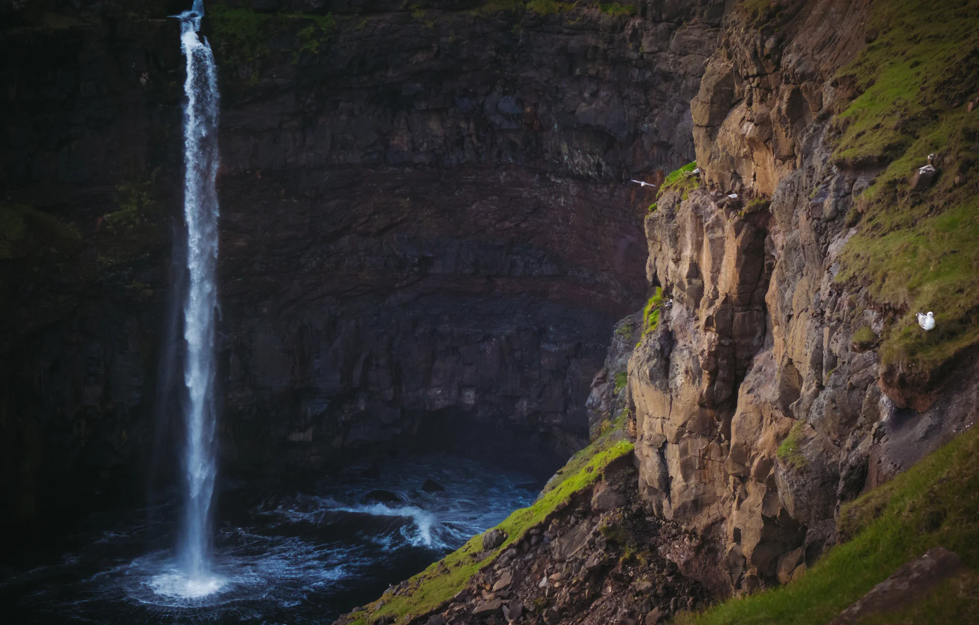
In the evening, Annika leaves for a weekend to the capital, entrusting us with the house for the remainder of our stay in Vágar. After a light dinner, it’s time for another sunset trip to the western part of the island. We stop at the hillside above Bøur to photograph the skies over Mykines and Tindholumur and to marvel at the underwhelming scale, from a distance, of our day’s hike. Then, we proceed to Gásadalur, this time in good weather. At Mulafossur, we are joined by a few other photographers, a family of sheep (perhaps the same one), several gulls, and a team of puffins roosting in the cliffside. I set up across from the falls, and shoot several timelapses - of the sea and the island of Mykines, of the clouds swirling past the mountain Árnafjall behind the village, and of golden sunbeams cascading across the waterfall and its surrounding sea cliffs. The magical, northerly light seems to persist for hour after hour, never fading, while the sun drops toward the horizon in ultra-slow motion. As a landscape photographer, I could hardly wish for a more perfect subject, or for more dreamlike conditions.


